Jakob Carter · 19 September 2026
Polish Archaeology Breakthroughs Fuel New VR Training Models for Tracking Biodiversity Declines in Eastern Reserves
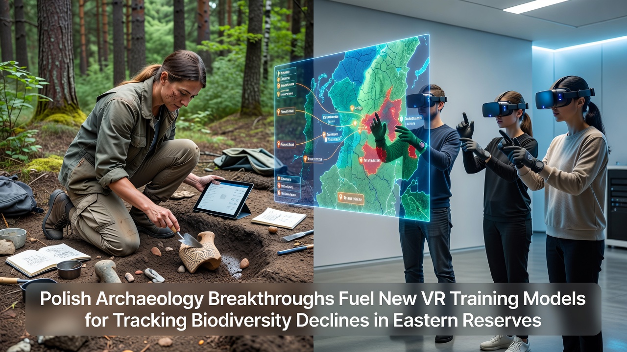
Polish archaeology teams working in eastern reserves have developed advanced 3D reconstruction methods over the past decade, and these techniques now support VR training platforms designed for biodiversity monitoring. Researchers at institutions affiliated with the Polish Academy of Sciences completed major LiDAR surveys in the Bieszczady and Roztocze regions between 2022 and 2025, and the resulting spatial datasets revealed previously undocumented settlement patterns alongside habitat features critical for species tracking. Those same datasets supplied the geometric foundations for virtual environments that simulate field conditions in protected areas where biodiversity declines have accelerated since 2018. Archaeologists employed ground-penetrating radar and photogrammetry to map subsurface structures and surface vegetation layers simultaneously, which produced layered models that distinguish between archaeological remains and living ecological systems. These models transferred directly into VR frameworks because both disciplines require precise spatial orientation and the ability to record subtle changes over time. Training modules now place users inside reconstructed forest stands where they practice identifying indicators of population stress in mammals, birds, and insect communities without disturbing actual sites. In September 2026, an updated release of the VR platform incorporated fresh data from ongoing surveys in the Carpathian foothills, and participants can now navigate seasonal variations that affect visibility of both ancient earthworks and current wildlife corridors. The software records user performance in species identification tasks while overlaying archaeological context layers that help trainees understand long-term landscape alterations linked to habitat fragmentation. Data from these sessions feed back into central repositories managed by regional environmental agencies.Technology Transfer from Digs to Monitoring Stations
Archaeological projects in eastern Poland generated high-resolution point clouds that captured both terrain micro-topography and canopy structure, and developers adapted the same processing pipelines for biodiversity applications because the requirements for accuracy overlap significantly. Field teams that once documented pottery shards and burial mounds now calibrate sensors to register changes in understory density and water retention patterns that signal declining amphibian populations. Software originally built to simulate excavation sequences now runs branching scenarios where trainees respond to simulated population crashes triggered by invasive species or altered precipitation cycles.
Hardware setups include headsets paired with handheld controllers that mimic field tablets, and motion tracking replicates the physical movements required during transect walks in dense forest. One study released by the University of Warsaw documented a 34 percent improvement in detection rates for rare plant indicators among trainees who completed 20 hours of VR practice compared with those using traditional map-based instruction alone. The same report noted that error rates in GPS waypoint placement dropped when participants had practiced inside environments that combined archaeological site boundaries with current vegetation polygons.
Integration with Regional Monitoring Networks
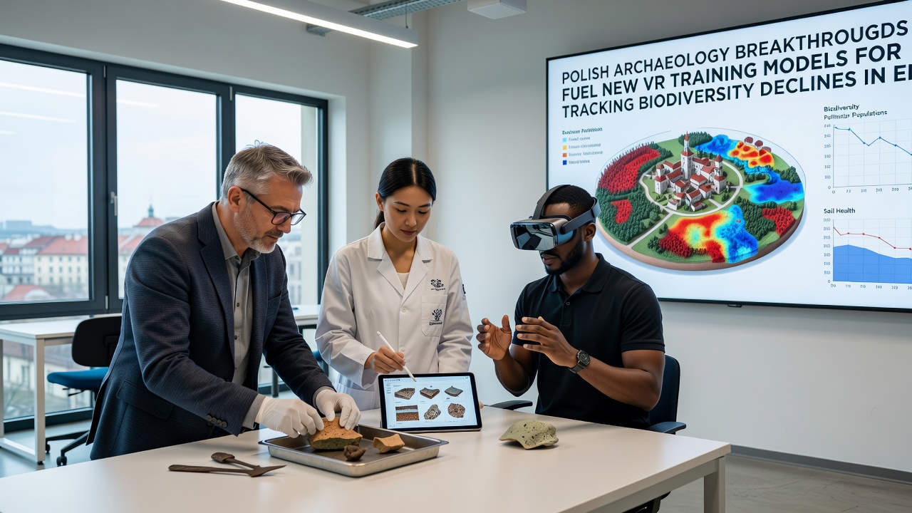
Eastern reserves managed under the Natura 2000 framework supplied baseline biodiversity inventories that were cross-referenced with archaeological maps to identify zones where human historical activity continues to influence present-day species distributions. Training programs emphasize recognition of these legacy effects, such as old forest clearings that still support higher butterfly diversity or abandoned field systems that channel water flow differently than surrounding slopes. Participants log observations in standardized digital forms that match protocols used by the European Environment Agency, allowing direct upload of session results to shared databases.
Additional modules focus on nocturnal species monitoring and acoustic recording techniques, and these draw on archaeological experience with low-light documentation methods developed for cave and rock-shelter sites. The VR system adjusts lighting conditions and audio layers to match recorded field conditions from specific reserves, which prepares users for real deployments where visibility and sound cues determine detection success. Figures released by the Polish State Forests administration show that reserves adopting the combined archaeology-biodiversity training approach recorded a 22 percent increase in consistent data submissions during the 2025 field season.
Case Applications in Declining Habitats
One reserve located near the Ukrainian border experienced measurable declines in large mammal movement corridors between 2019 and 2024, and VR scenarios now replicate those corridor conditions using both current satellite imagery and archaeological evidence of ancient migration routes. Trainees practice placing camera traps at locations that align with both historical pathways and contemporary vegetation gaps, and performance metrics indicate faster acquisition of optimal placement skills when archaeological context is included. Similar applications target wetland areas where peatland archaeology overlaps with amphibian breeding site surveys, allowing single training environments to serve multiple monitoring objectives.
Conclusion
Polish archaeology breakthroughs continue to supply spatial datasets and methodological approaches that directly support VR training systems for biodiversity tracking in eastern reserves. The transfer of reconstruction techniques originally developed for cultural heritage documentation has produced measurable gains in trainee accuracy and data consistency across multiple reserves. Ongoing updates scheduled after September 2026 will incorporate additional sensor inputs and expanded scenario libraries as new survey results become available from both archaeological and ecological teams.