Blake Foster · 5 September 2026
How Immersive Simulations Are Refining Data Collection Protocols for Remote Biodiversity Monitoring in Protected Eastern European Reserves
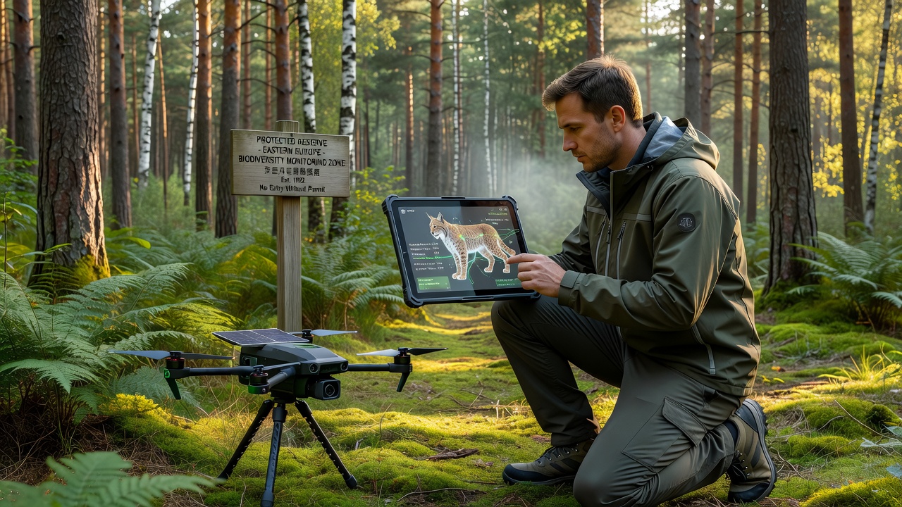
Protected reserves across Eastern Europe face increasing pressure from climate variability and human activity, which has prompted research teams to explore immersive simulations as a way to test and improve remote data collection methods. These digital environments replicate terrain, vegetation layers, and animal movement patterns drawn from satellite imagery and sensor networks already deployed in the Carpathian Mountains and similar protected zones. Teams input real-time variables such as seasonal weather shifts and species density estimates, then run repeated trials to measure how different sampling schedules affect data quality.
Current Monitoring Challenges in Eastern European Reserves
Traditional field protocols often require personnel to navigate difficult terrain while carrying equipment that can disturb sensitive habitats, and researchers have documented gaps in coverage during winter months when access becomes limited. Data collected via camera traps and acoustic sensors frequently contains noise from wind or equipment failure, which complicates species identification algorithms. In response, simulation platforms allow operators to adjust camera placement angles and recording intervals inside controlled virtual scenarios before any hardware is installed on site.
Integration of Immersive Technologies
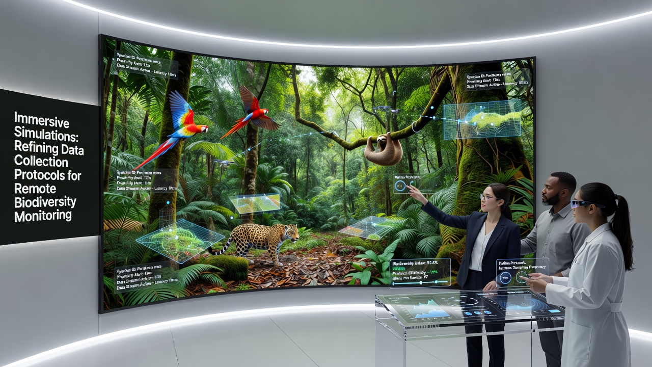
Immersive tools combine virtual reality headsets with spatial mapping software so that technicians can walk through a three-dimensional model of a reserve while interacting with overlaid data streams. A technician might reposition a simulated drone flight path to avoid nesting areas identified in earlier surveys, then immediately review how the change alters image resolution and battery consumption estimates. These adjustments feed directly into updated field manuals that field crews receive before the next deployment cycle.
Protocol Refinements Observed in 2025 Trials
During pilot programs conducted throughout 2025, teams working in Romanian and Slovakian reserves reported measurable improvements in detection rates for elusive mammal species after applying simulation-derived schedules. Acoustic sensor grids were repositioned based on simulated sound propagation models that accounted for dense undergrowth, resulting in fewer false positives from background noise. Data transmission protocols also changed when simulations revealed bandwidth bottlenecks during peak transmission hours, prompting staggered upload windows that reduced packet loss.
One study released by the European Environment Agency in late 2025 highlighted how these simulation-tested adjustments reduced overall equipment failure rates by nearly one third across monitored sites. The same report noted that remote teams could now maintain continuous coverage during periods when physical access was restricted by weather or regulatory closures.
Training and Standardization Benefits
Training modules built inside these simulations allow new field assistants to practice equipment calibration and data logging routines without risking live specimens or sensitive terrain. Standardized scenarios ensure that crews operating in different reserves follow comparable procedures, which simplifies cross-site data comparisons later. Observers note that this consistency has become especially valuable ahead of the coordinated monitoring window scheduled for September 2026, when multiple reserves will collect baseline data for a regional biodiversity assessment.
Data Quality Metrics and Validation
Validation studies compare simulation outputs against ground-truthed samples collected during short seasonal windows, confirming that virtual models accurately predict detection probabilities under varying light and vegetation conditions. Researchers adjust model parameters whenever discrepancies appear, creating a feedback loop that strengthens both the simulation accuracy and the resulting field protocols. Figures released by participating institutions show that error margins in species abundance estimates have narrowed following these iterative refinements.
Future Developments and Regional Coordination
Looking ahead, several Eastern European research networks are expanding shared simulation libraries that incorporate species movement data from neighboring countries, allowing protocols to account for transboundary migration patterns. Hardware manufacturers have begun incorporating simulation interfaces into their sensor management software, which reduces the time required to translate virtual test results into physical deployments. These developments position immersive simulation as a standard step in protocol development rather than an experimental add-on.
Conclusion
Immersive simulations continue to shape how data collection protocols evolve for remote biodiversity monitoring across Eastern European reserves by providing repeatable testing environments that minimize on-site disturbance. The approach has already produced documented gains in detection accuracy, equipment reliability, and training consistency ahead of the September 2026 assessment period. Ongoing refinements to these digital tools are expected to support broader regional coordination efforts while maintaining the scientific rigor required for long-term conservation records.