Blake Foster · 3 October 2026
Eastern European Excavation Insights Drive Fresh Integrations of Historical Records into Evolving Ecological Training Simulations
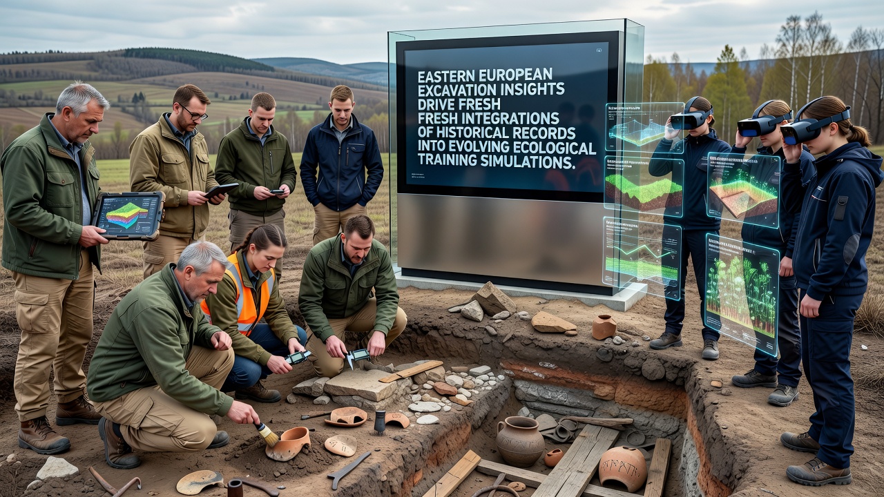
Excavations across Eastern Europe continue to yield layered data on past land use patterns, vegetation shifts, and species distributions that researchers now channel directly into ecological training simulations. Teams working at sites in Poland, Romania, and Hungary have documented pollen records, faunal remains, and sediment cores dating back several millennia, and these materials supply baseline conditions for models that replicate historical ecosystems. Institutions coordinate with simulation developers to translate physical finds into parameterized datasets, allowing trainees to interact with environments that reflect documented changes rather than generalized assumptions.Excavation Data Sources and Their Ecological Relevance
Polish Academy of Sciences teams completed a multi-year dig near the Biebrza marshes in 2025, where they recovered stratified plant macrofossils and animal bones that indicate transitions from mixed deciduous forest to wetland mosaics between 3000 BCE and 500 CE. Researchers cross-referenced these remains with radiocarbon dates and soil chemistry profiles, producing time-stamped maps of habitat extent that simulation platforms incorporate as reference layers. Similar efforts in Romania's Danube delta region have added records of avian migration corridors and fish population structures preserved in anaerobic deposits, while Hungarian sites along the Tisza river have supplied evidence of periodic flooding regimes and associated riparian vegetation communities.
Data from these excavations enter training simulations through standardized ontologies that map physical measurements to environmental variables. A sediment core showing increased salinity levels, for instance, becomes a parameter controlling water chemistry in the model, while bone assemblages translate into species abundance sliders that trainees adjust to test management scenarios. This process requires iterative validation against independent proxy records such as tree-ring sequences and lake-level reconstructions, ensuring the simulations remain anchored to observable evidence.
Integration Mechanisms in Current Simulation Platforms
Developers at several Eastern European research centers have updated their ecological training modules during 2026 to accept modular historical datasets. The October 2026 release of one widely used platform introduced an import function that ingests excavation metadata directly from shared repositories, automatically generating time-series visualizations and interactive decision trees. Trainees now load a specific excavation profile, observe the reconstructed landscape at multiple temporal slices, and run forward projections that incorporate documented disturbance events such as medieval land clearance or 19th-century drainage projects.
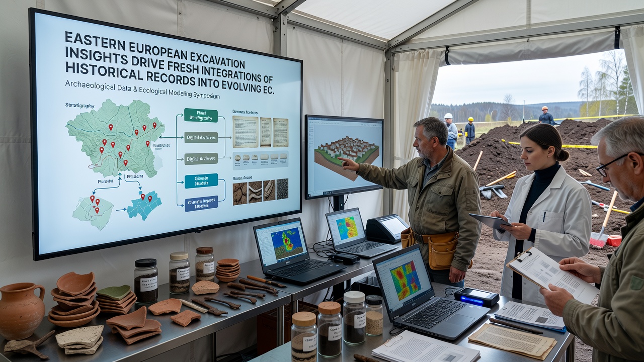
According to records maintained by the European Environment Agency, these integrations have expanded the temporal depth of training scenarios from decades to several thousand years in selected modules. The agency’s 2025 technical report on environmental modeling notes that simulation accuracy improves when historical constraints replace extrapolated baselines, particularly for variables such as soil carbon storage and hydrological connectivity. Training programs in Slovakia and Bulgaria have adopted the updated tools for field technician certification, requiring participants to replicate documented recovery trajectories from specific excavation contexts before advancing to contemporary monitoring exercises.
Regional Collaboration and Data Standards
Cross-border working groups established under the Carpathian Convention framework have standardized data formats for excavation outputs intended for simulation use. Participants from Ukraine, Slovakia, and the Czech Republic agreed in early 2026 on metadata templates that record sampling coordinates, stratigraphic positions, and associated uncertainty estimates, allowing seamless incorporation into shared simulation libraries. These templates also include fields for cultural context, such as evidence of past agricultural practices, so that trainees can examine coupled human-natural system dynamics within the same environment.
One ongoing project links excavation archives from the Lower Danube with simulation code maintained at the University of Alberta, where researchers apply machine-learning classifiers to assign ecological niche values to recovered taxa. The collaboration has produced a public dataset covering 47 excavation layers that users can query through an open API, and the resulting simulation scenarios now appear in training curricula at multiple institutions. Figures released by the project indicate that over 1200 individual data points from pollen counts and faunal metrics have been integrated so far, with additional layers scheduled for upload following the 2026 field season.
Training Outcomes and Platform Evolution
Simulation users working with the integrated historical records practice identifying tipping points that match documented transitions, such as the shift from steppe to forest-steppe documented at Hungarian sites around 2000 BCE. Instructors report that these exercises improve recognition of legacy effects in current landscapes, including altered soil profiles and remnant species compositions. Platform logs show increased session durations when historical layers are active, and completion rates for scenario-based assessments have risen in programs that adopted the October 2026 updates.
Further refinements scheduled for 2027 include real-time comparison tools that overlay trainee decisions against the original excavation sequences, highlighting deviations from documented pathways. These features rely on version-controlled datasets that excavation teams continue to expand through new fieldwork, maintaining a feedback loop between physical evidence and digital training environments.
Conclusion
Eastern European excavation programs supply an expanding archive of temporally resolved ecological data that simulation developers translate into structured training modules. The October 2026 platform updates demonstrate how standardized metadata and cross-institutional agreements enable direct incorporation of these records, producing scenarios grounded in specific stratigraphic and biological evidence rather than synthetic constructs. Ongoing fieldwork and collaborative data management ensure the process remains iterative, with new finds continuously informing the next generation of ecological training simulations.